Mapping with DMAP
Wildlife Recorder 4 can interface with the third party DMAP product, DMAP is not provided with Wildlife Recorder and must be purchased separately.
Only sightings for sites which have map references defined, or belong to a trip for which a map reference has been provided can be plotted onto Maps.
Mapping can be started from any Sightings Query window. Sightings windows can be displayed as follows:
- By requesting sightings for a species selected in a checklist window
- By requesting sightings for a species selected in a list window, lists
- By requesting sightings for a species selected in a query window containing sightings data.
To interface with DMAP:
Select all the sightings records which you want to analyse in the sightings window.
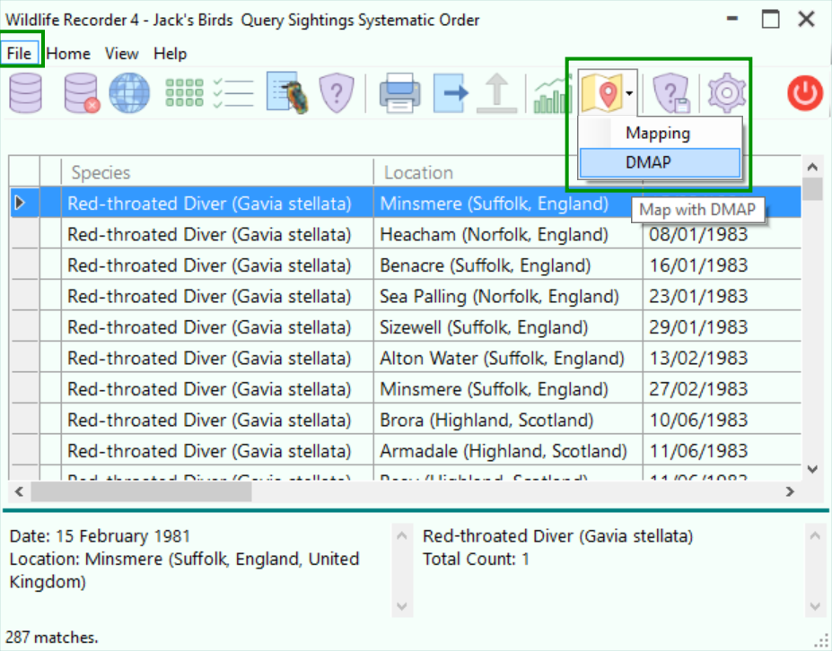
Select the File menu and the Mapping button, then select DMAP.
The DMAP Interface form will appear:
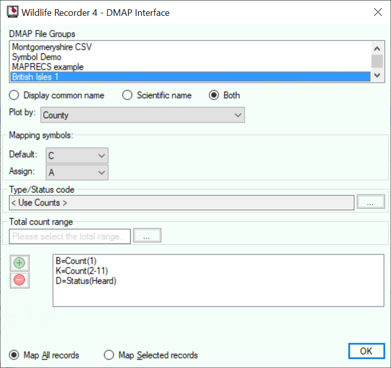
Using the form you can decided which DMAP mapping symbols to use. Mapping symbols can be assigned to status codes and/or numbers of individuals seen using the dialog box.
Click the OK button to plot the sightings, DMAP will be started.
For full details of how to use DMAP see your DMAP manual.
The DMAP program is the copyright of Dr. Alan Morton.