Trip Map Results
The Map Results screen shows the information which has been retrieved from your chosen map provider.. Wildlife Recorder retrieves the selected latitude and longitude and the if available the altitude of the selected location. It also attempts to retrieve the location name, county, state and country. Depending on the remoteness of the location selected some of that data may not be available.
In the following example all the requested data has been returned. The county, state and country all match with the information in the Wildlife Recorder database. If there are any nearby sites already in the database these are shown below.
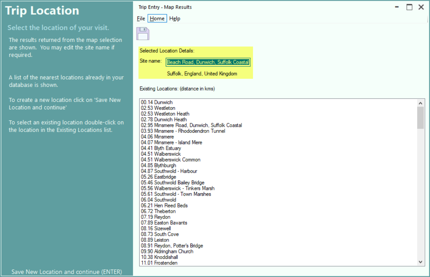
You can either select an existing site from the displayed list or create a new site. To use an existing site double-click on the site name you wish to use. The Map Results screen will be closed and the Trip Details screen will be displayed showing the name of the chosen site but using the exact map reference chosen from the map.
You can elect to create a new site in which case you can change the site name if you wish, as in the example below.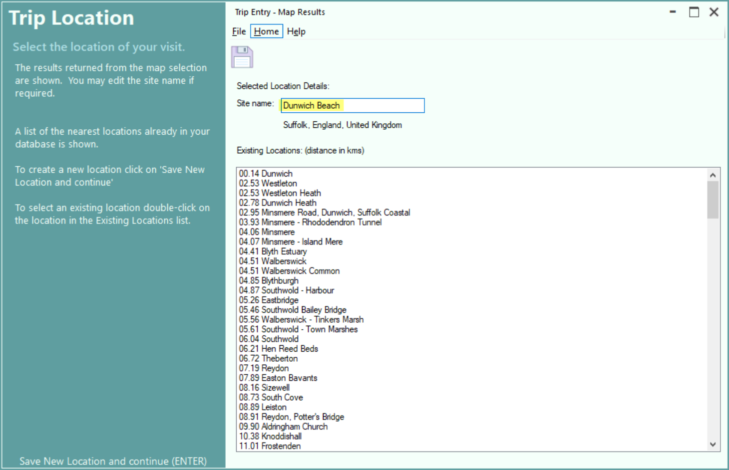
To save the new site click on the save icon, Save New Location and continue or press the Ctrl+S key. The Map Results screen will be closed and the Trip Details screen will be displayed.
Correcting Map Information
Information returned by map providers can sometimes be returned in the native language of the country chosen and the names of states and counties may be different to the anglicised names used in the Wildlife Record Database. Also counties and states for the area may not have been added to the Wildlife Recorder database.
In the following example the state Colon is not in the WR database and can be added or ignored.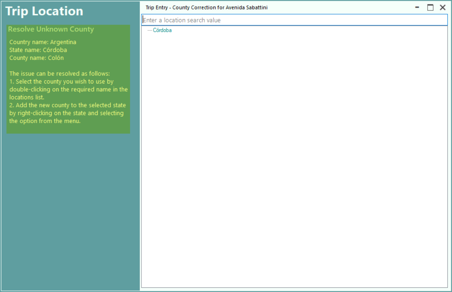
Instruction on how the resolve the issue are shown in the left panel. In this case the state Colon can be added to Cordoba by right-cling and selecting add county to state.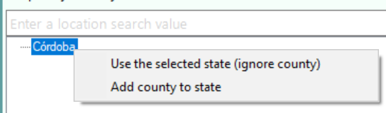
Help - Keyboard Shortcuts
Help- Toolbar and other icons